
Eustis ZIP Code Directory
Three codes serve distinct postal functions around Eustis. The central code covers the established city core. The eastern code reaches broad rural and unincorporated land, so the preferred postal city cannot prove municipal residency. The third code is tied to box mail rather than a normal residential delivery polygon. Read each code as a mailing tool, then confirm legal geography in Lake County GIS.
| ZIP | Area served | Postal facility | Research note |
|---|---|---|---|
| 32726 | Downtown, lakefront, and much of incorporated Eustis | Eustis Post Office | Main physical-address code |
| 32736 | Eastern and northeastern rural postal territory | Eustis delivery area | Often extends beyond city limits |
| 32727 | Box and agency mailing use | Eustis PO boxes | Do not map a box to a home parcel |
The Eustis Post Office is at 1110 W. Ardice Avenue, Eustis, FL 32726-9998, with published retail hours of 9:30 a.m. to 5 p.m. weekdays and 9:30 a.m. to noon Saturday. Box access is available around the clock. City correspondence often uses a 32727 drawer or box while the public counter has a 32726 physical address. That difference is useful evidence of mailing function, not residence.
Three Eustis Postal Functions
The ZIP code directory works best when each code is assigned its actual task. The 32726 code is the practical starting point for downtown, Northshore, East Town, and older city neighborhoods, although those local labels are not formal postal polygons. The 32736 code includes CR 44A, CR 439, Palm Drive, Rollingwood Trail, Florida Hills, subdivisions, and dispersed acreage. A person can write Eustis in that mailing address while living outside incorporation.
The 32727 code should trigger a mailing-address check. Compare the box with a parcel situs or another verified physical address. Government departments, businesses, and people may receive mail at a box that reveals nothing about where their building or home stands. Never assign a box number to a residential parcel.
Note: USPS labeling groups 32726 and 32736 under Eustis, but that postal choice does not settle city jurisdiction.
Verify an Eustis ZIP Code
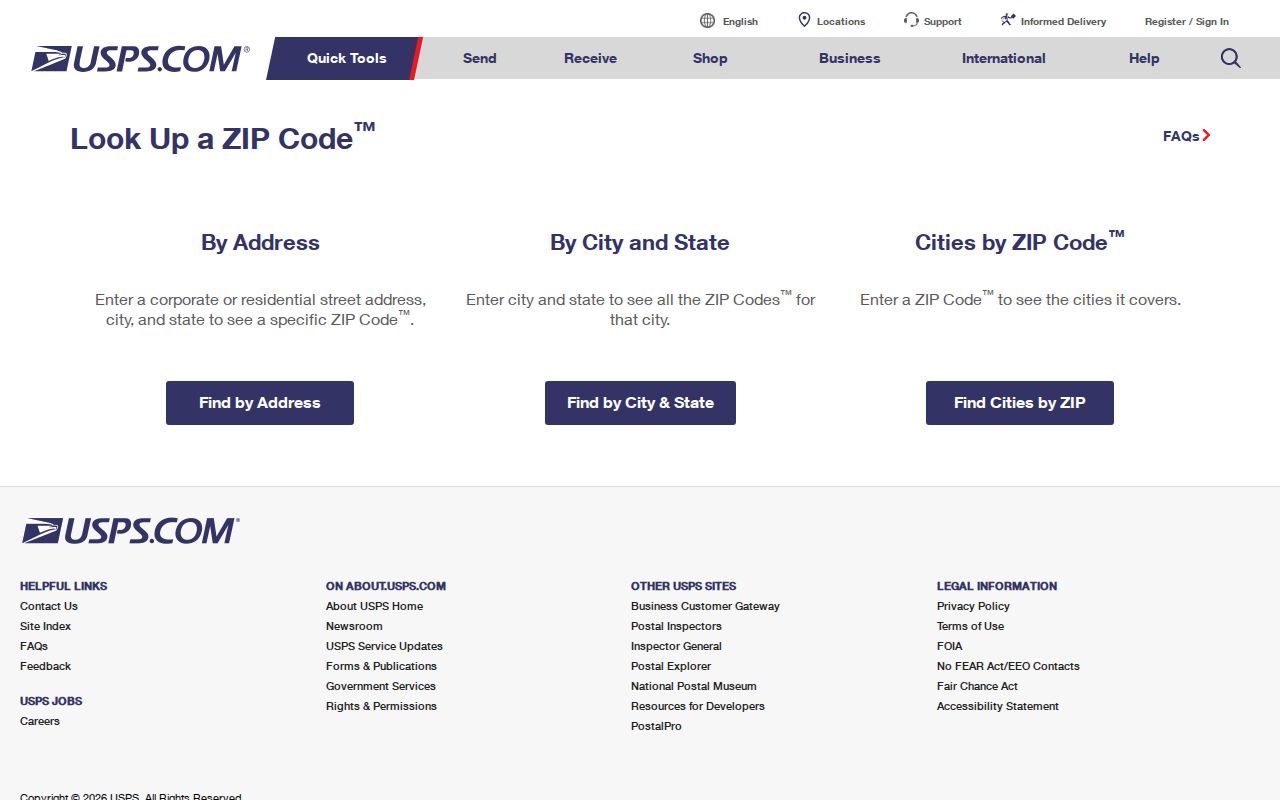
Use the USPS ZIP Code Lookup for an address-to-code answer or to see the preferred city for a code. Then move to Lake County Interactive Map for incorporation, parcel, subdivision, and planning geography. This two-source check prevents a correct mail label from sending a public-record request to the wrong office.
- Enter the complete street address in the official USPS lookup and preserve the standardized result.
- Search the same address in Lake County GIS, then select the parcel rather than relying on the label alone.
- Turn on City Limits and Joint Planning Area layers. Record subdivision, parcel number, and acreage when relevant.
- Choose Eustis or Lake County as permit, code, police, and fire custodian based on the mapped boundary.
The official USPS form appears below.
Eustis ZIPs Versus City Limits
Five boundaries can overlap without matching: the USPS preferred city and delivery code, incorporated Eustis, the Eustis Joint Planning Area, the Downtown and East Town Community Redevelopment Area, and a subdivision or parcel. Add precinct, school, or utility territory only when the question calls for it. One parcel can be Eustis by mail, outside the city, inside the joint planning area, outside a redevelopment area, and within a named subdivision at the same time.
This mismatch decides which records office holds a permit or code case. Incorporated projects use Eustis systems. Unincorporated projects use Lake County reports. Law-enforcement records likewise divide between Eustis Police and the Lake County Sheriff. The mailing city is not enough.
Eustis ZIP Data Boundaries
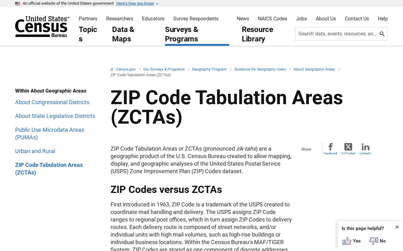
Population tables often use a Census ZIP Code Tabulation Area, or ZCTA. It is a statistical shape built from census blocks to approximate a delivery area. It is not the live USPS route map. The Census Bureau's ZCTA explanation is the right source when a table labels its geography as a ZCTA.
The captured Census page below explains the distinction behind ZIP-based statistics.
Do not blend a ZCTA population with incorporated Eustis and call both city population. Their edges answer different questions. State the geography and data year whenever ZIP-based figures are used.
Find Eustis Residents by ZIP
No primary local portal makes ZIP a first-class public resident search field. The Property Appraiser searches by owner, address, parcel, or related property keys. GIS searches owner, address, alternate key, parcel, and subdivision. The court index searches cases and parties. Individual voter status requires identifying data. The sound method is geographic selection and export, followed by careful filtering of clearly labeled address fields.
- Verify the delivery code with USPS and set the intended boundary in GIS.
- Select parcels inside that defined area with a map rectangle or other selection tool.
- Export the chosen GIS results to CSV or Excel, then distinguish parcel situs from owner mailing ZIP.
- Open official property cards or deeds for relevant parcels and verify names at the custodian.
- Once the search reaches a named road, use the Eustis street directory for address-level work.
A mailing ZIP may belong to an owner who lives elsewhere. Label columns before filtering. GIS export is a parcel set, not an occupant list, and assessed owners are not proof of every household member.
Eustis Geographic Search Fields
The tools use property geography rather than a documented ZIP box. That is an advantage when a delivery boundary cuts across city limits. An alternate key is a local property identifier. A parcel number identifies the assessed tract. Subdivision search groups platted lots, while address search begins with the street location.
| Portal field | Input | Best use | Caution |
|---|---|---|---|
| Owner | Name | Find assessed property | May not be an occupant |
| Address | Street number and name | Locate a situs | Normalize spelling first |
| AltKey or parcel | Property identifier | Hold one tract steady | Not a postal code |
| Subdivision | Recorded plat name | Group nearby lots | Can cross postal assumptions |
| Map select | Drawn area | Create a custom ZIP-area set | Check the chosen layer |
Lake GIS can export selected results. The Property Appraiser updates assessment data nightly. Neither system should be described as a live list of people inside a postal zone.
Route Eustis ZIP Records
Eustis moved municipal permitting and inspection activity to GovWell in May 2025. Guest access supports viewing, while an account supports applications, payments, status, and inspections. County reports search unincorporated permits by address, owner, contractor, alternate key, dates, and type. The correct route depends on the parcel's mapped city status, not the word Eustis in the mailing line.
| Mapped location | Record keeper |
|---|---|
| Inside incorporated Eustis | Eustis Building Department and GovWell |
| Outside Eustis city limits | Lake County permit reports |
| Unclear or historical boundary | GIS, parcel/legal description, then a focused public-record request |
A permit can identify an owner, applicant, contractor, job address, scope, valuation, dates, and inspections. It dates work. It does not prove who occupied the property.
Define Eustis ZIP Terms
Postal terms describe delivery operations, not ownership or local government. Keeping them distinct prevents a ZIP code directory from making claims the data cannot support.
- ZIP code
- A USPS delivery code associated with routes and facilities.
- ZIP+4
- The basic five digits plus four digits that narrow delivery to a segment, building, or group.
- PO-box ZIP
- A code used chiefly for post-office box mail rather than a residential polygon.
- Carrier route
- A mail delivery path that can cross other civic boundaries.
- ZCTA
- A Census statistical approximation of ZIP geography, not the current USPS boundary.
Parcel and legal descriptions are more stable for property research. When an address changes because of a rural-route conversion, annexation, or renumbering, follow the parcel, subdivision plat, tax map, and deed.
Bridge Changed Eustis Addresses
Eustis developed from a compact lakefront and rail town into platted subdivisions and rural postal territory. A household can shift between a rural route, numbered road, and modern street label without moving far. ZIP boundaries can also change independently of land ownership. Historical research should hold the legal description constant while comparing directories, census schedules, deeds, maps, and permits.
The city's official addressing guide describes a one-tenth-mile grid used by county addressing authority. For older property, tax maps and subdivision plats can connect the current parcel to a prior street form. Sanborn maps and city directories help in the historic core, but they do not cover every rural tract.
Note: An absent match may reflect a changed address or custodian, not the disappearance of the resident or record.
Limits of Eustis ZIP Lookups
A ZIP code directory narrows geography. It cannot establish every resident in that area, prove city citizenship, identify renters, reveal household members, or turn an owner mailing address into a home address. Public records also omit protected addresses and confidential identifiers. Use parcel results for lawful personal research, family history, civic inquiry, and property curiosity. Never use location data to stalk, harass, threaten, or harm anyone.
When a portal fails, contact the correct custodian with an address, parcel number, date range, and precise record type. Florida Public Records Law provides a request route for nonexempt records, but it does not erase statutory privacy protections. A concise request is more likely to reach the correct city or county file without costly broad searching.